
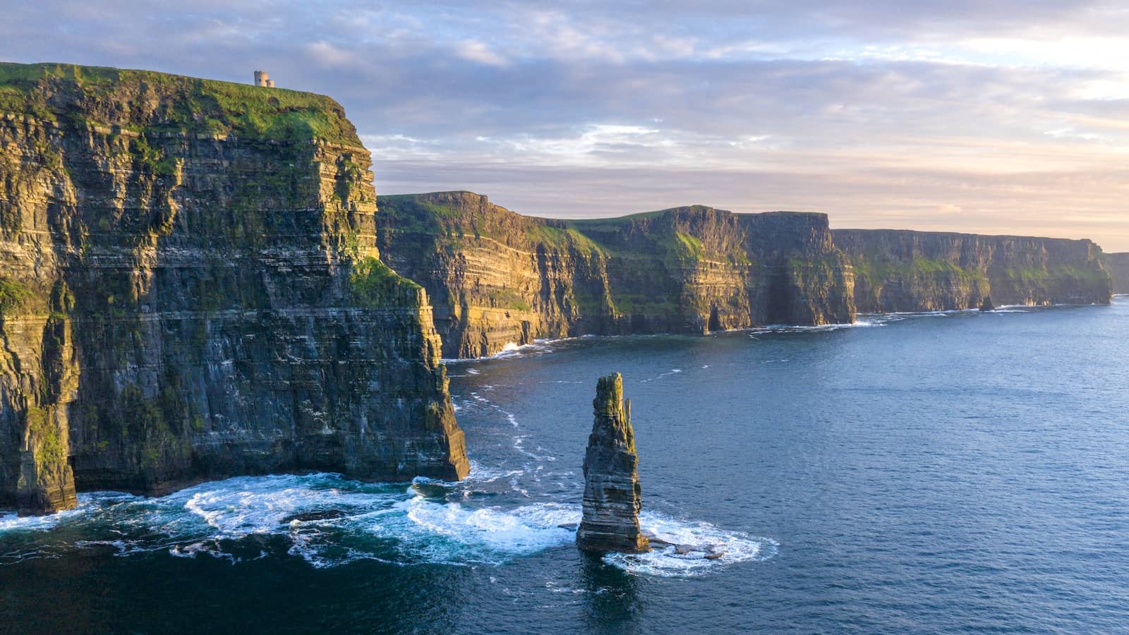

The longest defined coastal driving route in the world stretches 2,500 km along Ireland's western seaboard, from Donegal's sea cliffs to the tropical gardens of West Cork, passing through Connemara, the Burren, the Cliffs of Moher and the Ring of Kerry.
1,553 mi / 2,500 km
14 days
May to September
Easy
Left
Toll-free
Iconic stops
Malin Head
Ireland's most northerly point, with dramatic headland views across to Scotland.
Slieve League Cliffs
Sea cliffs nearly three times higher than the Cliffs of Moher, reached by a winding mountain road.
Connemara
A wild landscape of bogs, lakes, mountains and stone-walled villages on the Galway coast.
Cliffs of Moher
Ireland's most visited natural attraction: 214-meter cliffs dropping sheer into the Atlantic.
Dingle Peninsula
A Gaeltacht peninsula of ancient beehive huts, dolphin-filled bays and traditional pubs with live music.
Ring of Kerry
A 179-km loop through lakes, mountains and colourful towns on the Iveragh Peninsula.
Mizen Head
The most south-westerly point of Ireland, reached by a bridge over a wild sea chasm.
Stops on the map
Each numbered marker matches the list above, linked in driving order from 1 to 7. Hover or tap a marker to see the stop name, scroll to zoom, and download the map as an image.
Prefer turn-by-turn navigation? Open the full route in Google Maps with all 7 stops loaded as waypoints in driving order. It opens in a new browser tab.
Tolls & fees
The Wild Atlantic Way itself is toll-free. Only a handful of Irish motorways (M50, M1) far from the route charge tolls.
No tolls to estimate
Enjoy the drive. Budget instead for fuel, ferries, and parking.
Traffic & road alerts
Single-track roads with passing places are common in the northwest. Summer weekends around the Cliffs of Moher and Dingle can be congested. Start early for the popular stops.
Best maps & planning
Plan your drive and check the latest conditions with these trusted maps and official resources.
Driving tips
- Pack rain gear even in summer. Atlantic weather changes fast and the beauty often peaks right after a shower.
- Take the Killary Harbour boat cruise for a dramatic fjord experience in Connemara.
- Book accommodation ahead for Dingle and Killarney in July and August.
Distances, tolls, and seasons are curated planning references and can change. Always confirm current tolls, opening dates, and closures with the official sources linked above before you travel.