
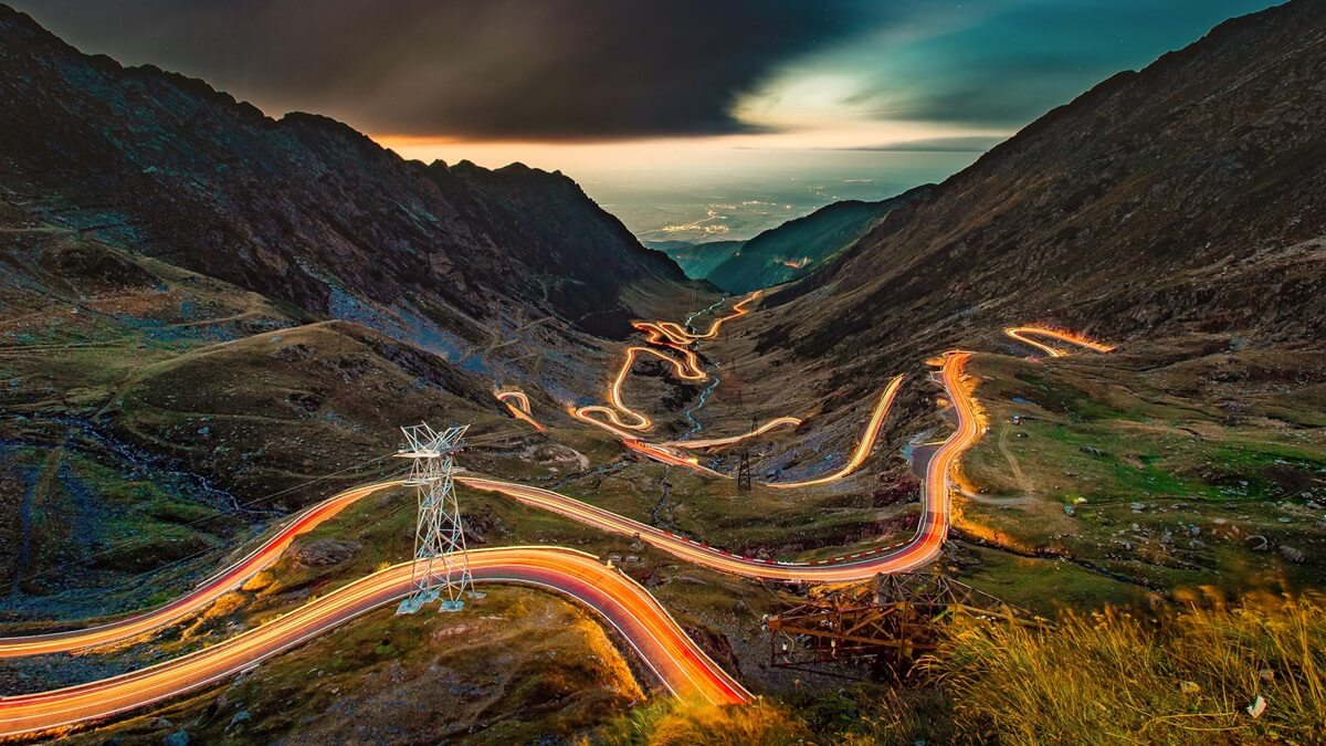

A serpentine mountain road climbing over the Făgăraș range to 2,042 m, with dizzying switchbacks, tunnels, and a glacial lake at the summit.
56 mi / 90 km
1 day
July to October (upper road closes in winter)
Challenging
Right
Toll-free
Iconic stops
Bâlea Waterfall
Romania's tallest cascade, tumbling below the highest switchbacks.
Bâlea Lake
A glacial lake at the summit, reachable by road or cable car.
Capra Cascade
A scenic waterfall stop on the ascent from the south.
Vidraru Dam
A towering arch dam over a deep reservoir on the southern approach.
Poenari Citadel
The real cliff-top fortress of Vlad the Impaler, up 1,480 steps.
Stops on the map
Each numbered marker matches the list above, linked in driving order from 1 to 5. Hover or tap a marker to see the stop name, scroll to zoom, and download the map as an image.
Prefer turn-by-turn navigation? Open the full route in Google Maps with all 5 stops loaded as waypoints in driving order. It opens in a new browser tab.
Tolls & fees
The Transfăgărășan itself is toll-free. Romania requires a "rovinieta" road vignette for main roads, usually included with rental cars.
No tolls to estimate
Enjoy the drive. Budget instead for fuel, ferries, and parking.
Traffic & road alerts
The high section is only open roughly late June to October. It is busy on summer weekends and fog can roll in fast near the top.
Best maps & planning
Plan your drive and check the latest conditions with these trusted maps and official resources.
Driving tips
- Check that the high pass is open before you go. It is closed by snow most of the year.
- Start early to beat weekend crowds and afternoon fog.
- Confirm your rental car has a valid rovinieta vignette.
Distances, tolls, and seasons are curated planning references and can change. Always confirm current tolls, opening dates, and closures with the official sources linked above before you travel.