
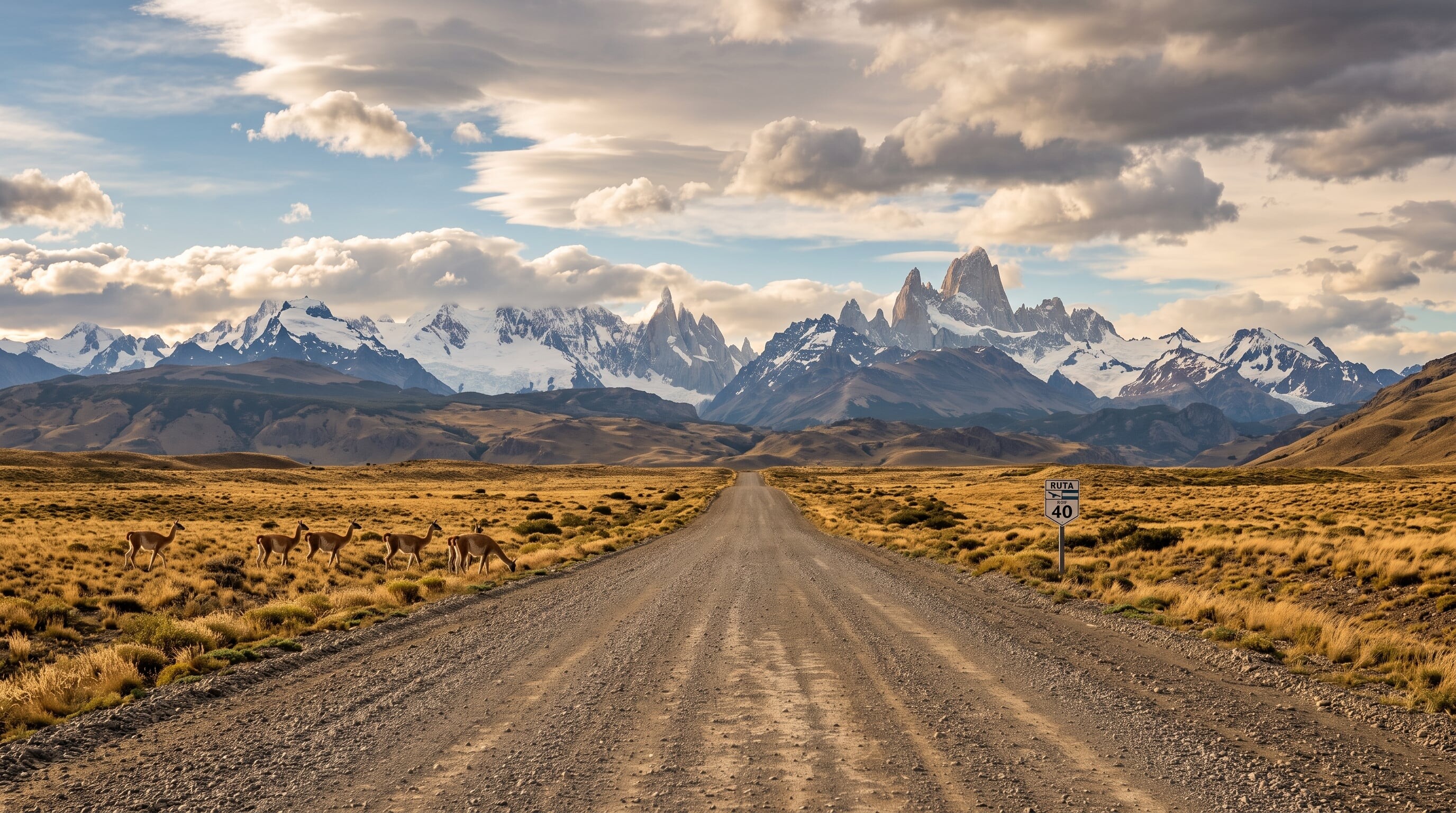

Argentina's legendary Route 40 runs the length of the country beside the Andes. Its Patagonian stretch is an epic of empty steppe, glaciers, and turquoise lakes.
969 mi / 1,560 km
7 days
November to March
Challenging
Right
Toll-free
Iconic stops
Perito Moreno Glacier (via El Calafate)
A short detour to one of the world's few advancing glaciers.
El Chalten
Argentina's trekking capital at the foot of the Mount Fitz Roy spires.
Cueva de las Manos
A UNESCO cave of 9,000-year-old stencilled handprints in a canyon.
Bariloche & the Lake District
Alpine-style lakes and forests at the route's northern Patagonian end.
Ruta de los Siete Lagos
The famous "Seven Lakes" scenic spur toward San Martin de los Andes.
Stops on the map
Each numbered marker matches the list above, linked in driving order from 1 to 5. Hover or tap a marker to see the stop name, scroll to zoom, and download the map as an image.
Prefer turn-by-turn navigation? Open the full route in Google Maps with all 5 stops loaded as waypoints in driving order. It opens in a new browser tab.
Tolls & fees
The Patagonian section of Ruta 40 is toll-free. Long lonely stretches and fierce crosswinds, not tolls, are the real challenge here.
No tolls to estimate
Enjoy the drive. Budget instead for fuel, ferries, and parking.
Traffic & road alerts
Distances between towns and fuel are enormous, and relentless Patagonian wind buffets the car. Some segments remain gravel. Carry extra fuel and water.
Best maps & planning
Plan your drive and check the latest conditions with these trusted maps and official resources.
Driving tips
- Fill up at every fuel station. The gaps between them can exceed 200 km.
- Grip the wheel firmly. Patagonian crosswinds can shove a car across the lane.
- Budget extra days. Detours to Fitz Roy and Perito Moreno are the highlights of the drive.
Distances, tolls, and seasons are curated planning references and can change. Always confirm current tolls, opening dates, and closures with the official sources linked above before you travel.