
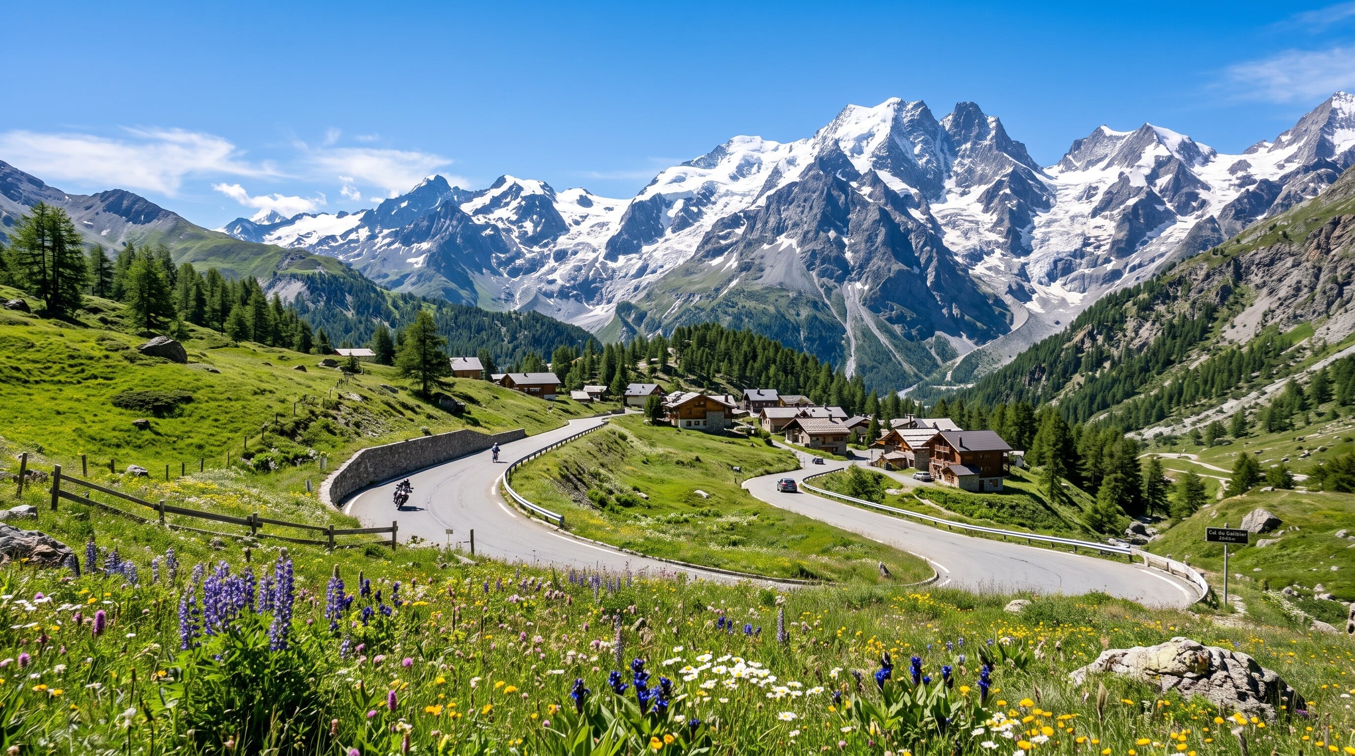

A classic alpine traverse from Lake Geneva to the Mediterranean, crossing more than a dozen high passes including the mighty Col de l'Iseran, Europe's highest paved pass.
447 mi / 720 km
5 days
Late June to September
Challenging
Right
Toll-free
Iconic stops
Col de l'Iseran
At 2,770 m, the highest paved pass in the Alps.
Col du Galibier
A storied Tour de France climb with vast high-mountain views.
Briancon
A fortified alpine town, the highest city in France.
Col de l'Izoard
A dramatic pass through the lunar Casse Deserte rock field.
Menton & the Riviera
The route's warm Mediterranean finish on the Cote d'Azur.
Stops on the map
Each numbered marker matches the list above, linked in driving order from 1 to 5. Hover or tap a marker to see the stop name, scroll to zoom, and download the map as an image.
Prefer turn-by-turn navigation? Open the full route in Google Maps with all 5 stops loaded as waypoints in driving order. It opens in a new browser tab.
Tolls & fees
The mountain-pass route itself is toll-free. Several of the highest cols only open once summer snow clears, so the full traverse is a summer drive.
No tolls to estimate
Enjoy the drive. Budget instead for fuel, ferries, and parking.
Traffic & road alerts
High cols are narrow and busy with cyclists in summer. Passes such as the Iseran and Galibier can close for weather even in the warm months.
Best maps & planning
Plan your drive and check the latest conditions with these trusted maps and official resources.
Driving tips
- Attempt the full route only in high summer, when all the cols are reliably open.
- Start each day early. Afternoon storms build fast over the high passes.
- Share the narrow roads courteously with the many cyclists tackling these famous climbs.
Distances, tolls, and seasons are curated planning references and can change. Always confirm current tolls, opening dates, and closures with the official sources linked above before you travel.