
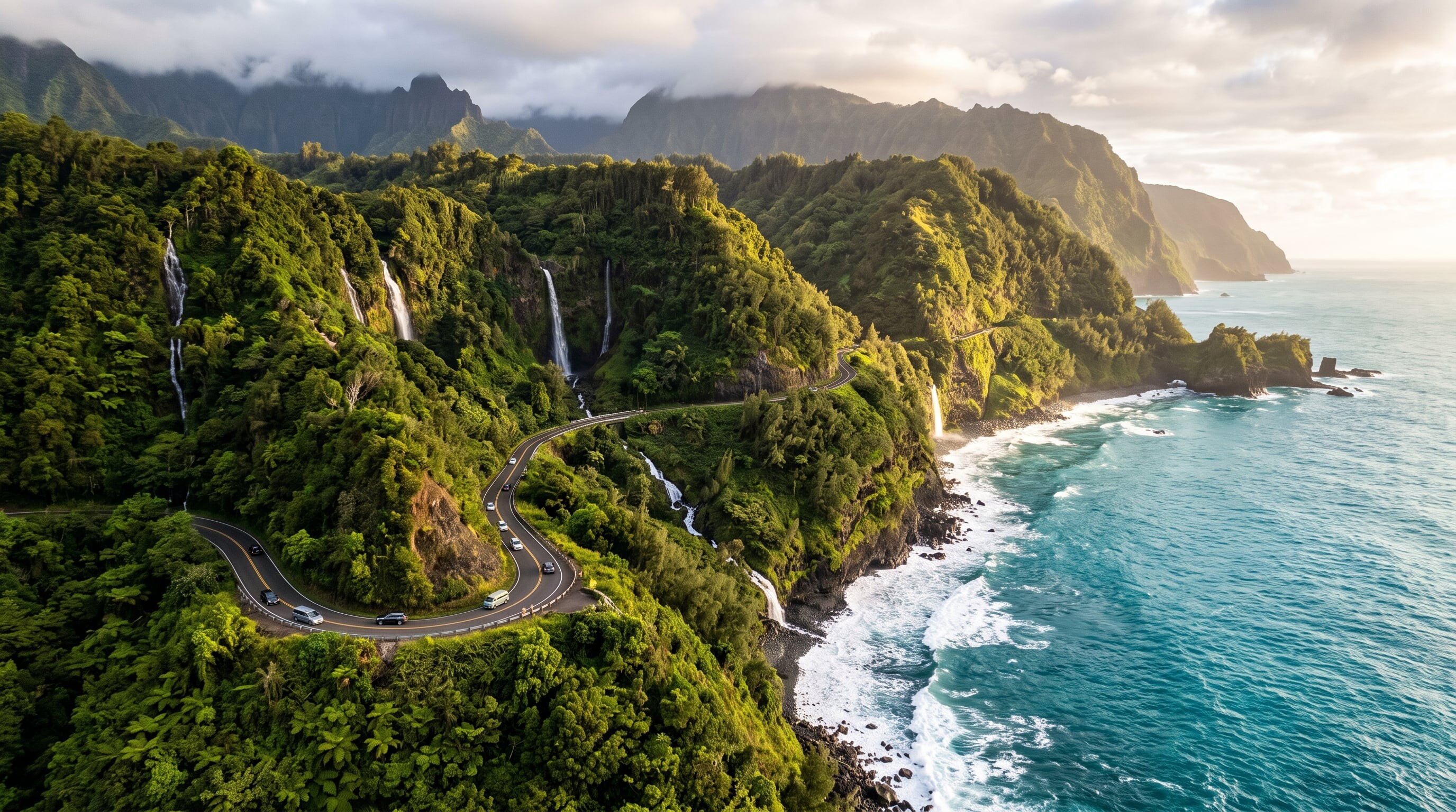

Maui's Hana Highway threads more than 600 curves and 50 one-lane bridges past waterfalls, rainforest, and black-sand beaches on the island's wild eastern shore.
64 mi / 103 km
1 day
Year-round
Moderate
Right
Toll-free
Iconic stops
Twin Falls
The first easy waterfall stop, with short trails and a roadside fruit stand.
Waianapanapa State Park
A striking black-sand beach, sea caves, and lava tubes (reservation required).
Hana town
A sleepy, authentic Hawaiian town and the turnaround point for most drivers.
Wailua Falls
A photogenic 80-foot waterfall that drops right beside the road past Hana.
Pipiwai Trail & Oheo Gulch
A bamboo-forest hike to the towering Waimoku Falls in Haleakala National Park.
Stops on the map
Each numbered marker matches the list above, linked in driving order from 1 to 5. Hover or tap a marker to see the stop name, scroll to zoom, and download the map as an image.
Prefer turn-by-turn navigation? Open the full route in Google Maps with all 5 stops loaded as waypoints in driving order. It opens in a new browser tab.
Tolls & fees
The Hana Highway is entirely toll-free. Some private sights along the way (such as garden stops) charge a small entry fee, and parking at popular waterfalls can require a state park reservation.
No tolls to estimate
Enjoy the drive. Budget instead for fuel, ferries, and parking.
Traffic & road alerts
One-lane bridges mean frequent stops, and the road is slow by design. Start at dawn to beat tour vans, and yield to local traffic.
Best maps & planning
Plan your drive and check the latest conditions with these trusted maps and official resources.
Driving tips
- Fuel up and grab food in Paia or Kahului. Services past there are very limited.
- It is the journey, not Hana town itself. Budget the whole day and turn back before dark.
- Pull fully off the road for photos. Blind curves make roadside stopping dangerous.
Distances, tolls, and seasons are curated planning references and can change. Always confirm current tolls, opening dates, and closures with the official sources linked above before you travel.