
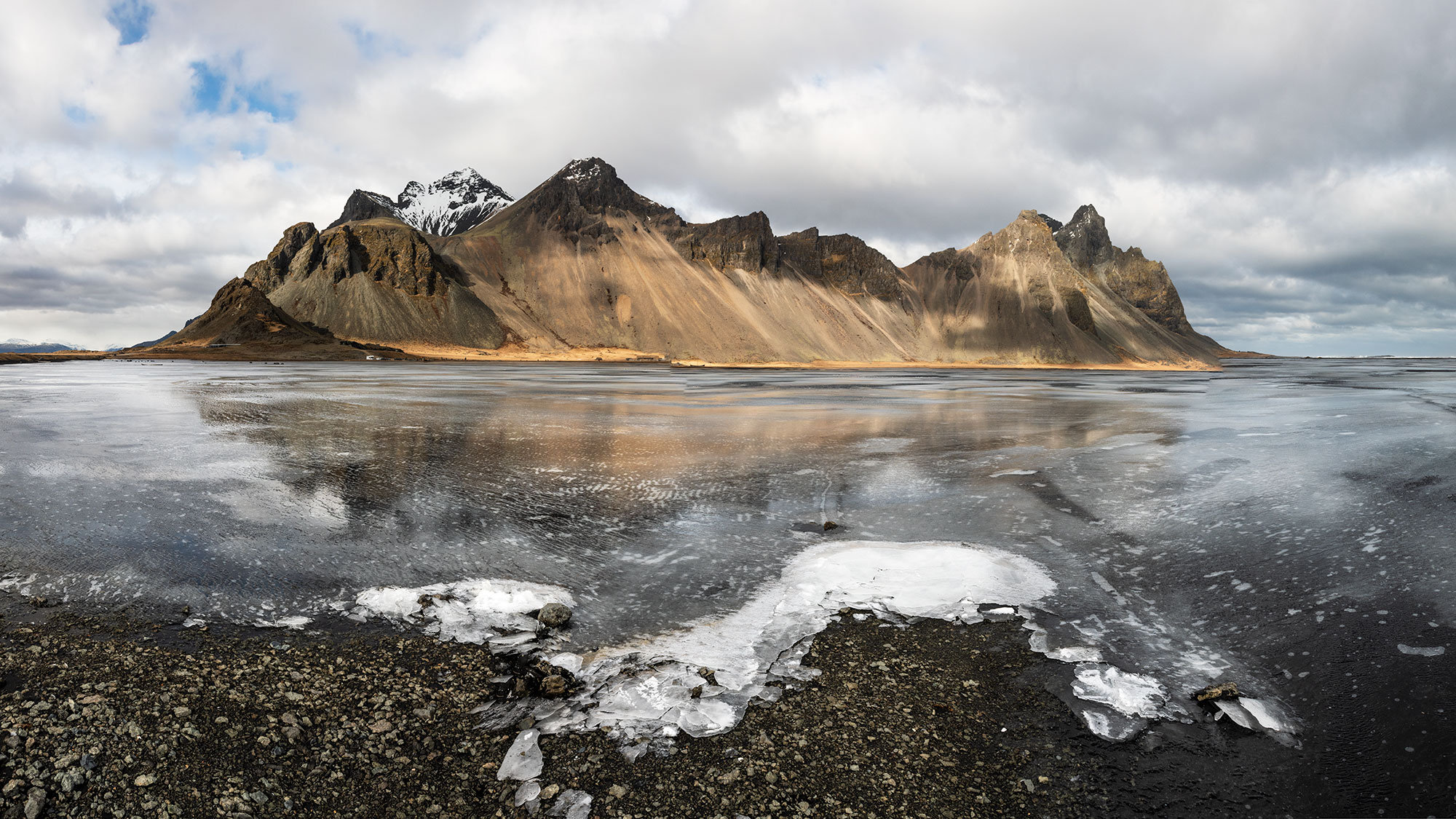

Route 1 loops the entire island past waterfalls, glaciers, black-sand beaches, and geothermal fields. The definitive Icelandic road trip.
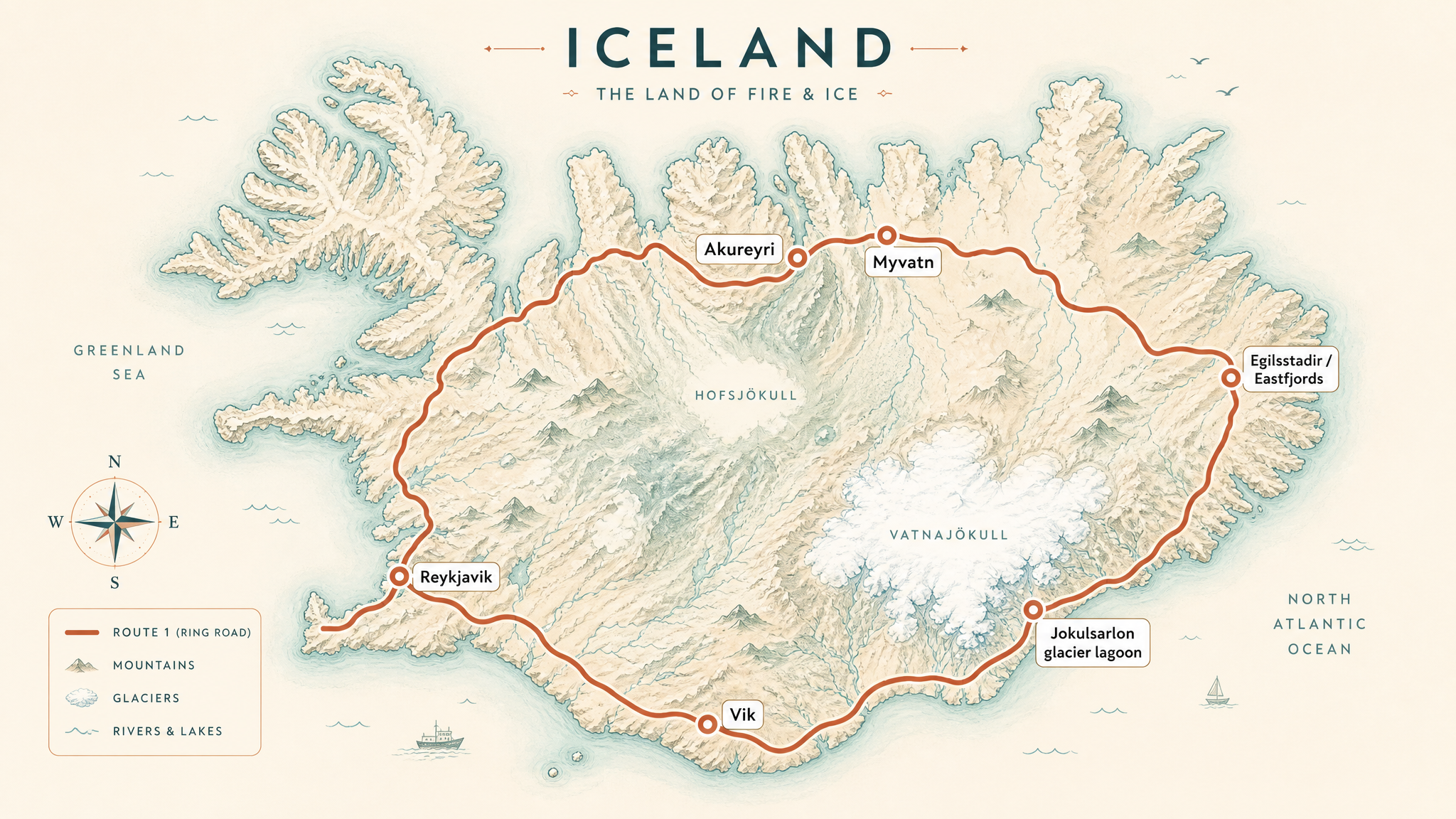
Downloadable driving guide
A printable PDF with the overview map, a day-by-day itinerary through the iconic stops, distances and drive times, and practical notes. Save it to your phone for the road, even where there is no signal.
821 mi / 1,322 km
7 days
June to August
Moderate
Right
Tolls apply
Iconic stops
Seljalandsfoss & Skógafoss
Two of the south coast's most spectacular waterfalls, minutes apart.
Vík í Mýrdal
A village framed by sea stacks and the Reynisfjara black-sand beach.
Jökulsárlón Glacier Lagoon
Icebergs drift in a lagoon beside the black-pebbled Diamond Beach.
Egilsstaðir & the Eastfjords
Winding fjord roads, reindeer, and quiet fishing villages.
Mývatn
A geothermal area of craters, lava fields, and nature baths in the north.
Stops on the map
Each numbered marker matches the list above, linked in driving order from 1 to 5. Hover or tap a marker to see the stop name, scroll to zoom, and download the map as an image.
Prefer turn-by-turn navigation? Open the full route in Google Maps with all 5 stops loaded as waypoints in driving order. It opens in a new browser tab.
Tolls & fees
The Ring Road is free except the Vaðlaheiði Tunnel near Akureyri, which is electronically tolled. Pay online within 24 hours to avoid a fine.
Toll cost estimator
Estimates in ISK. Figures are typical standard-car rates and can change. Confirm with the official toll links before you travel.
Traffic & road alerts
Weather changes fast. Wind, fog, and sudden closures are common outside summer. Check road.is before every leg.
Best maps & planning
Plan your drive and check the latest conditions with these trusted maps and official resources.
Driving tips
- Never drive off-road. It is illegal and heavily fined in Iceland.
- A 2WD is fine on Route 1 in summer, but F-roads require a 4x4.
- Refuel often in the sparse east and highlands. Distances between stations are long.
Distances, tolls, and seasons are curated planning references and can change. Always confirm current tolls, opening dates, and closures with the official sources linked above before you travel.