
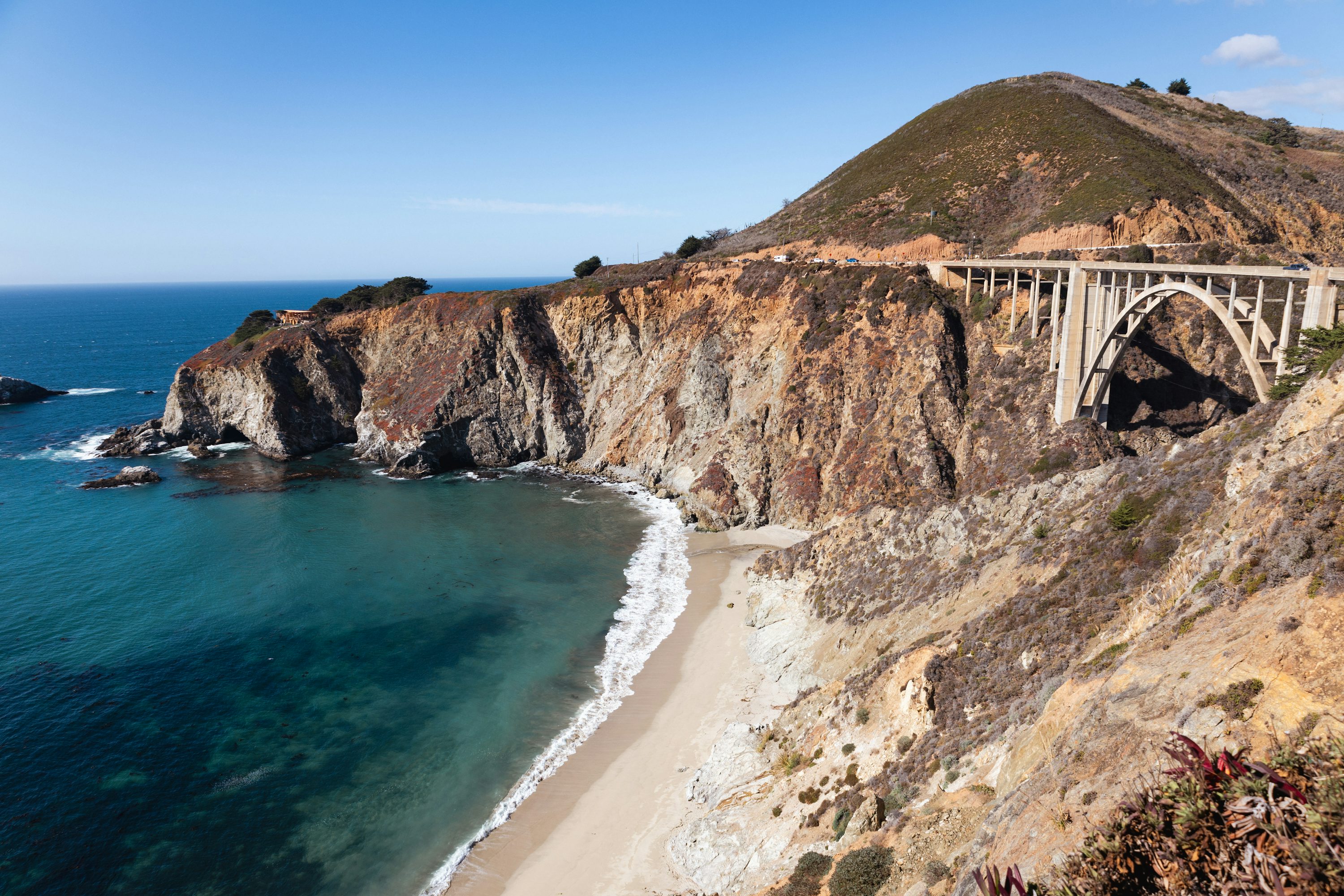

California's State Route 1 hugs the Pacific from the redwoods near San Francisco down to the beaches of Southern California, threading cliffside curves through Big Sur.
656 mi / 1,056 km
4 days
April to October
Moderate
Right
Tolls apply
Iconic stops
Monterey & Carmel
Cannery Row, a world-class aquarium, and a storybook seaside village.
Bixby Creek Bridge
The most photographed span on the route, arching over a deep Big Sur canyon.
McWay Falls
An 80-foot waterfall dropping onto a golden cove in Julia Pfeiffer Burns State Park.
Hearst Castle
A hilltop Gilded Age estate above San Simeon with guided tours.
Morro Rock
A volcanic monolith rising from the bay at Morro Bay.
Stops on the map
Each numbered marker matches the list above, linked in driving order from 1 to 5. Hover or tap a marker to see the stop name, scroll to zoom, and download the map as an image.
Prefer turn-by-turn navigation? Open the full route in Google Maps with all 5 stops loaded as waypoints in driving order. It opens in a new browser tab.
Tolls & fees
Highway 1 itself is toll-free, but the Golden Gate Bridge into San Francisco is electronically tolled (no cash booths). Rental cars usually bill this automatically.
Toll cost estimator
Estimates in USD. Figures are typical standard-car rates and can change. Confirm with the official toll links before you travel.
Traffic & road alerts
Big Sur is prone to seasonal closures from landslides. Always check Caltrans for active closures before setting out.
Best maps & planning
Plan your drive and check the latest conditions with these trusted maps and official resources.
Driving tips
- Drive north to south so you are on the ocean side of the road for the best pullouts.
- Fuel up in towns. Gas stations are sparse and pricey through Big Sur.
- Book Big Sur lodging well ahead. It sells out and there is little cell service.
Distances, tolls, and seasons are curated planning references and can change. Always confirm current tolls, opening dates, and closures with the official sources linked above before you travel.