
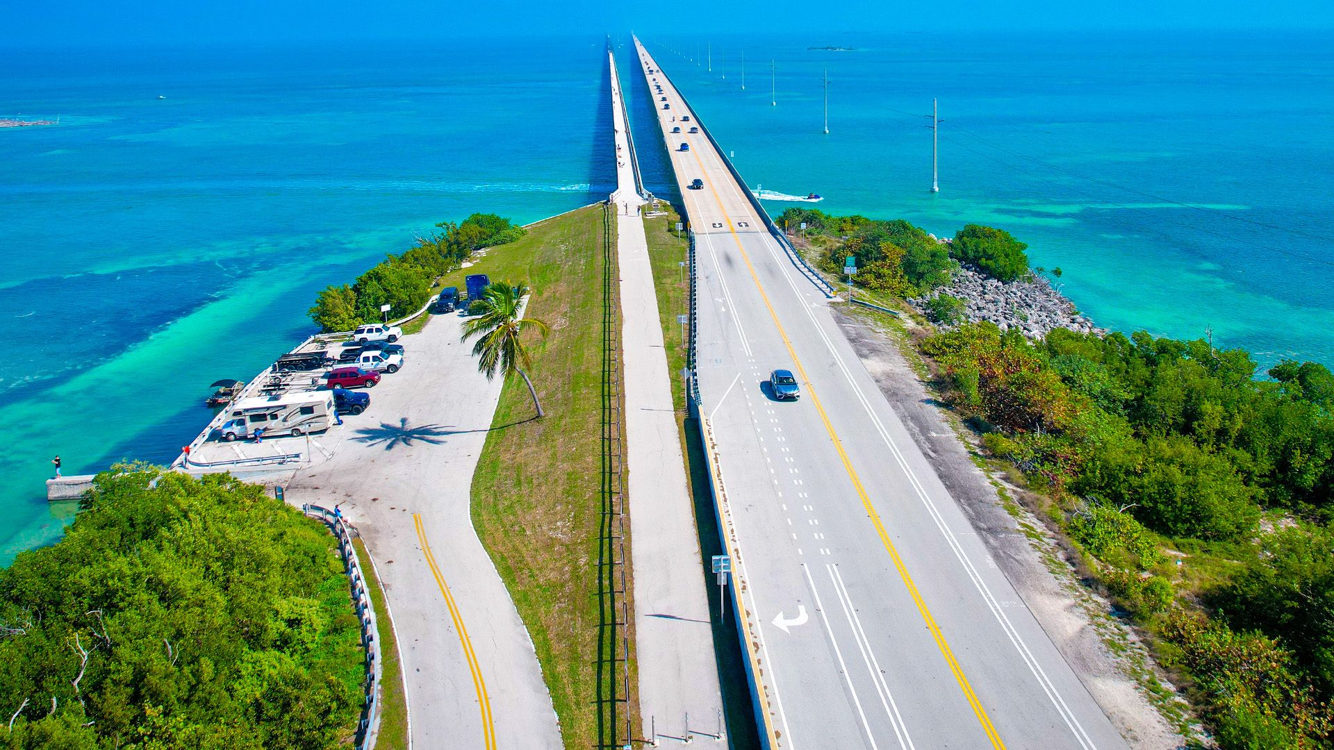

A 182-km drive across 42 bridges connecting the Florida Keys from Key Largo to Key West, with the Atlantic on one side and the Gulf of Mexico on the other, culminating at the southernmost point of the continental US.
113 mi / 182 km
2 days
November to April
Easy
Right
Toll-free
Iconic stops
Key Largo
The "Diving Capital of the World," gateway to John Pennekamp Coral Reef State Park.
Islamorada
The "Sportfishing Capital," home to Theater of the Sea and Robbie's tarpon feeding.
Marathon & Seven Mile Bridge
The iconic bridge stretches across open water with endless ocean views.
Bahia Honda State Park
One of the top-rated beaches in the US, with an old railroad bridge to explore.
Key West
The end of the road: Duval Street, Hemingway's house, sunset at Mallory Square.
Stops on the map
Each numbered marker matches the list above, linked in driving order from 1 to 5. Hover or tap a marker to see the stop name, scroll to zoom, and download the map as an image.
Prefer turn-by-turn navigation? Open the full route in Google Maps with all 5 stops loaded as waypoints in driving order. It opens in a new browser tab.
Tolls & fees
The Overseas Highway (US-1) is toll-free from Miami to Key West.
No tolls to estimate
Enjoy the drive. Budget instead for fuel, ferries, and parking.
Traffic & road alerts
Much of US-1 through the Keys is a single lane each way, so traffic can back up behind slower vehicles. Be patient, use passing zones, and never pass on double yellow lines. Avoid Friday afternoon southbound and Sunday afternoon northbound for the heaviest traffic.
Best maps & planning
Plan your drive and check the latest conditions with these trusted maps and official resources.
Driving tips
- Stop at mile markers to track your progress. MM 0 is Key West, MM 112 is Key Largo.
- Snorkel at Bahia Honda. The park has calm, clear water and coral just steps from the beach.
- Watch the sunset from Mallory Square in Key West, a nightly street festival.
Distances, tolls, and seasons are curated planning references and can change. Always confirm current tolls, opening dates, and closures with the official sources linked above before you travel.