
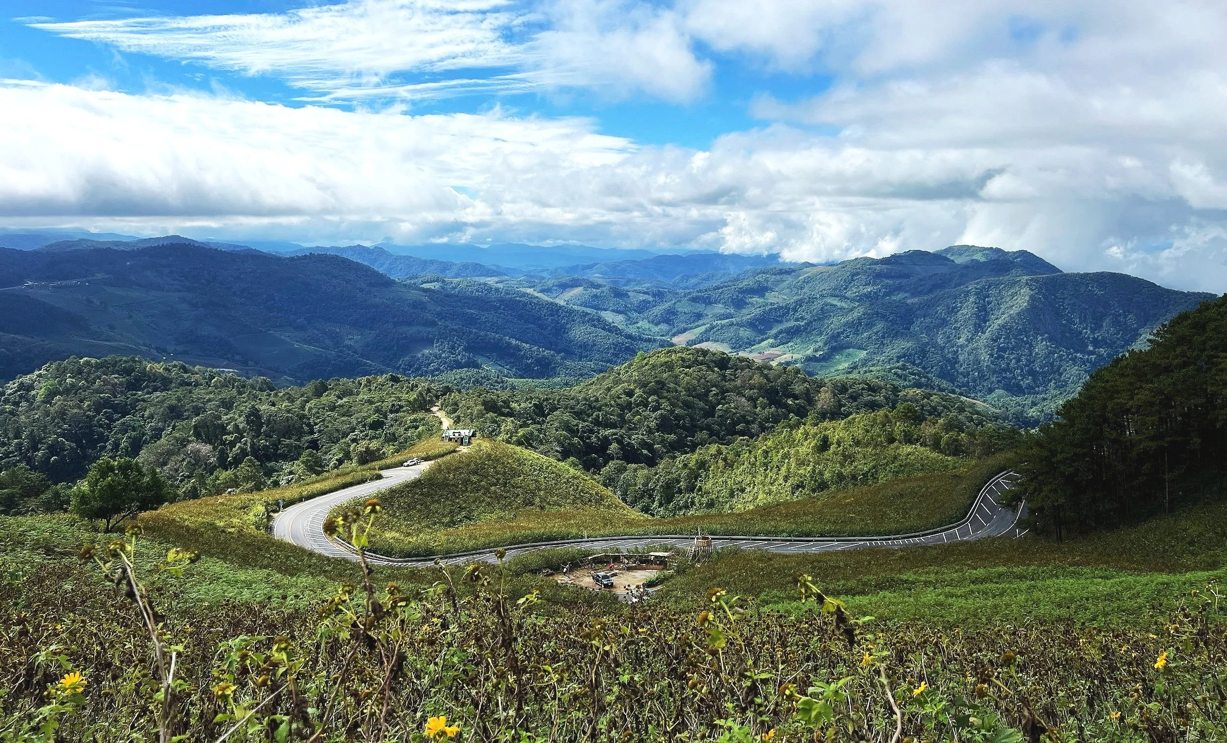

A 600-km mountain-road loop through northern Thailand's most remote province, passing through 1,864 curves and crossing misty peaks, hill-tribe villages, hot springs and jungle-lined gorges between Chiang Mai and Mae Hong Son.
373 mi / 600 km
4 days
November to February (cool and dry)
Moderate
Left
Toll-free
Iconic stops
Chiang Mai
The starting and ending point, Thailand's cultural capital of the north.
Pai
A bohemian mountain village with hot springs, waterfalls and a famous canyon walk.
Mae Hong Son
The "City of Three Mists," a remote town surrounded by misty peaks and Burmese-style temples.
Mae Sariang
A quiet riverside town near the Myanmar border with Karen weaving villages.
Doi Inthanon
Thailand's highest peak (2,565 m) with twin pagodas, cloud forest and hill-tribe markets.
Stops on the map
Each numbered marker matches the list above, linked in driving order from 1 to 5. Hover or tap a marker to see the stop name, scroll to zoom, and download the map as an image.
Prefer turn-by-turn navigation? Open the full route in Google Maps with all 5 stops loaded as waypoints in driving order. It opens in a new browser tab.
Tolls & fees
No tolls on the loop. All fuel and food stops are cheap by any standard.
No tolls to estimate
Enjoy the drive. Budget instead for fuel, ferries, and parking.
Traffic & road alerts
The loop is almost entirely two-lane mountain road. Hairpin bends are constant; take your time. Scooter rentals are popular but ensure you have insurance and experience. Rainy season (June to October) brings landslides and slippery conditions.
Best maps & planning
Plan your drive and check the latest conditions with these trusted maps and official resources.
Driving tips
- Do the loop counter-clockwise (Chiang Mai to Mae Sariang to Mae Hong Son to Pai) for a gentler entry into the curves.
- Fill up at every gas station. Distances between pumps can be long on the southern half.
- If riding a scooter, use a 125cc or larger. The mountain climbs strain smaller engines.
Distances, tolls, and seasons are curated planning references and can change. Always confirm current tolls, opening dates, and closures with the official sources linked above before you travel.