
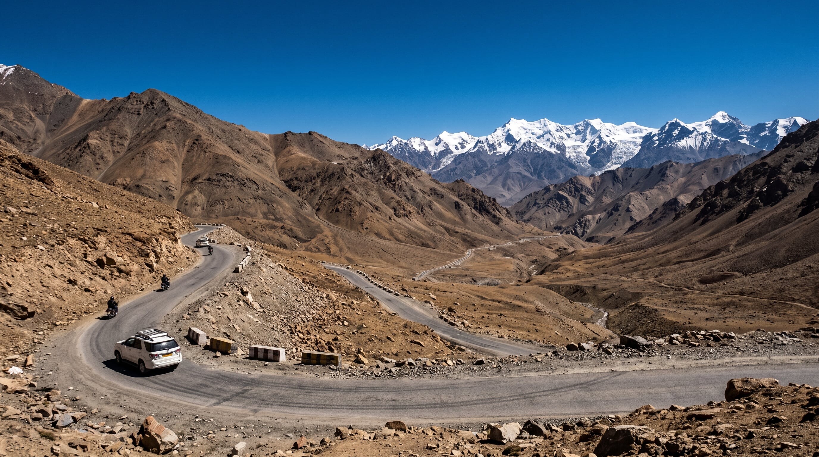

A high-altitude Himalayan crossing linking Manali with Leh in Ladakh, topping several passes above 5,000 m across a stark, otherworldly mountain desert.
266 mi / 428 km
2 days
June to September
Challenging
Left
Toll-free
Iconic stops
Rohtang Pass
The first major pass out of Manali at 3,978 m, often crowded and misty.
Baralacha La
A stark 4,890 m pass amid snowfields and glacial lakes.
Gata Loops
A dizzying set of 21 hairpin bends climbing the barren mountainside.
More Plains
A vast, eerie high-altitude plateau before the descent to Leh.
Tanglang La
One of the highest points on the route at around 5,328 m.
Stops on the map
Each numbered marker matches the list above, linked in driving order from 1 to 5. Hover or tap a marker to see the stop name, scroll to zoom, and download the map as an image.
Prefer turn-by-turn navigation? Open the full route in Google Maps with all 5 stops loaded as waypoints in driving order. It opens in a new browser tab.
Tolls & fees
The highway is toll-free but only open for a few summer months once the army clears winter snow from the passes. Some Ladakh areas need an Inner Line Permit.
No tolls to estimate
Enjoy the drive. Budget instead for fuel, ferries, and parking.
Traffic & road alerts
Altitude sickness is a real risk above 4,000 m. Fuel, food, and phone signal are extremely sparse, and river crossings can wash out sections without warning.
Best maps & planning
Plan your drive and check the latest conditions with these trusted maps and official resources.
Driving tips
- Acclimatise for a day or two before crossing the highest passes to avoid altitude sickness.
- Carry extra fuel, water, snacks, and cash. Services are almost nonexistent between towns.
- Start each driving day at dawn. Afternoon meltwater can flood the river crossings.
Distances, tolls, and seasons are curated planning references and can change. Always confirm current tolls, opening dates, and closures with the official sources linked above before you travel.