
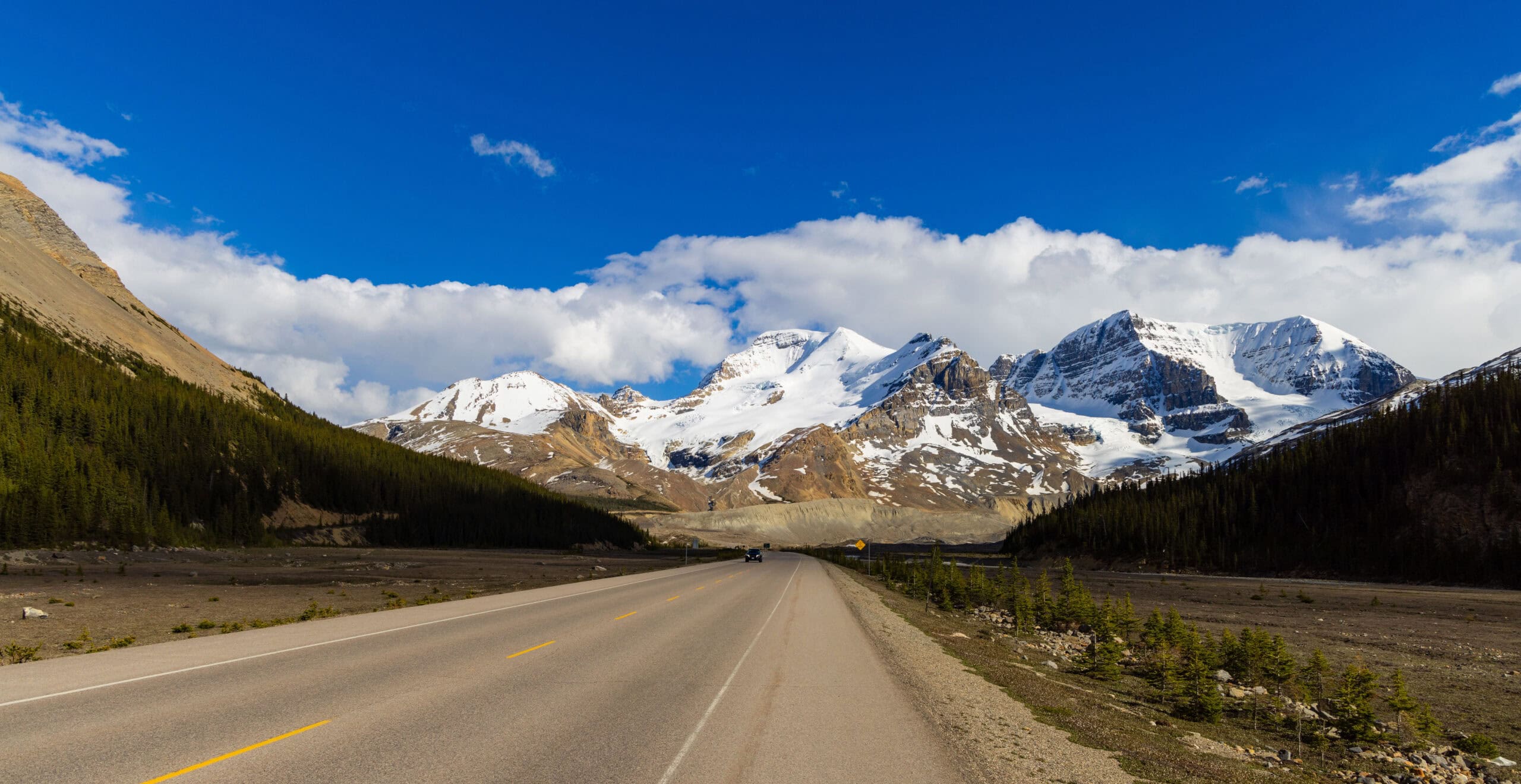

A 232-km highway through the heart of the Canadian Rockies connecting Lake Louise and Jasper, passing glaciers, turquoise lakes, waterfalls and some of the most dramatic mountain scenery on Earth.
144 mi / 232 km
2 days
June to September
Easy
Right
Tolls apply
Iconic stops
Lake Louise
The iconic turquoise glacial lake at the southern start of the parkway.
Peyto Lake
A fox-shaped turquoise lake viewed from a short-hike viewpoint.
Columbia Icefield
One of the largest non-polar icefields, with guided glacier walks.
Sunwapta Falls
A dramatic double waterfall on the Sunwapta River.
Athabasca Falls
A powerful waterfall carving through a narrow limestone gorge.
Jasper
A mountain town at the northern end, gateway to Jasper National Park and Maligne Lake.
Stops on the map
Each numbered marker matches the list above, linked in driving order from 1 to 6. Hover or tap a marker to see the stop name, scroll to zoom, and download the map as an image.
Prefer turn-by-turn navigation? Open the full route in Google Maps with all 6 stops loaded as waypoints in driving order. It opens in a new browser tab.
Tolls & fees
The parkway runs through Banff and Jasper national parks, which require a Parks Canada pass (daily or annual). No additional road tolls.
Toll cost estimator
Estimates in CAD. Figures are typical standard-car rates and can change. Confirm with the official toll links before you travel.
Traffic & road alerts
The highway is well-maintained but watch for wildlife on the road, especially at dawn and dusk. RV traffic can be slow; use the pullouts. Winter driving requires snow tires and the road may close temporarily.
Best maps & planning
Plan your drive and check the latest conditions with these trusted maps and official resources.
Driving tips
- Buy a Parks Canada Discovery Pass if visiting multiple parks. It pays for itself in two days.
- Fill your tank at Lake Louise or Saskatchewan River Crossing. There are no other gas stations on the parkway.
- Stop at every pullout. The road rewards patience with views that only improve as you go.
Distances, tolls, and seasons are curated planning references and can change. Always confirm current tolls, opening dates, and closures with the official sources linked above before you travel.