
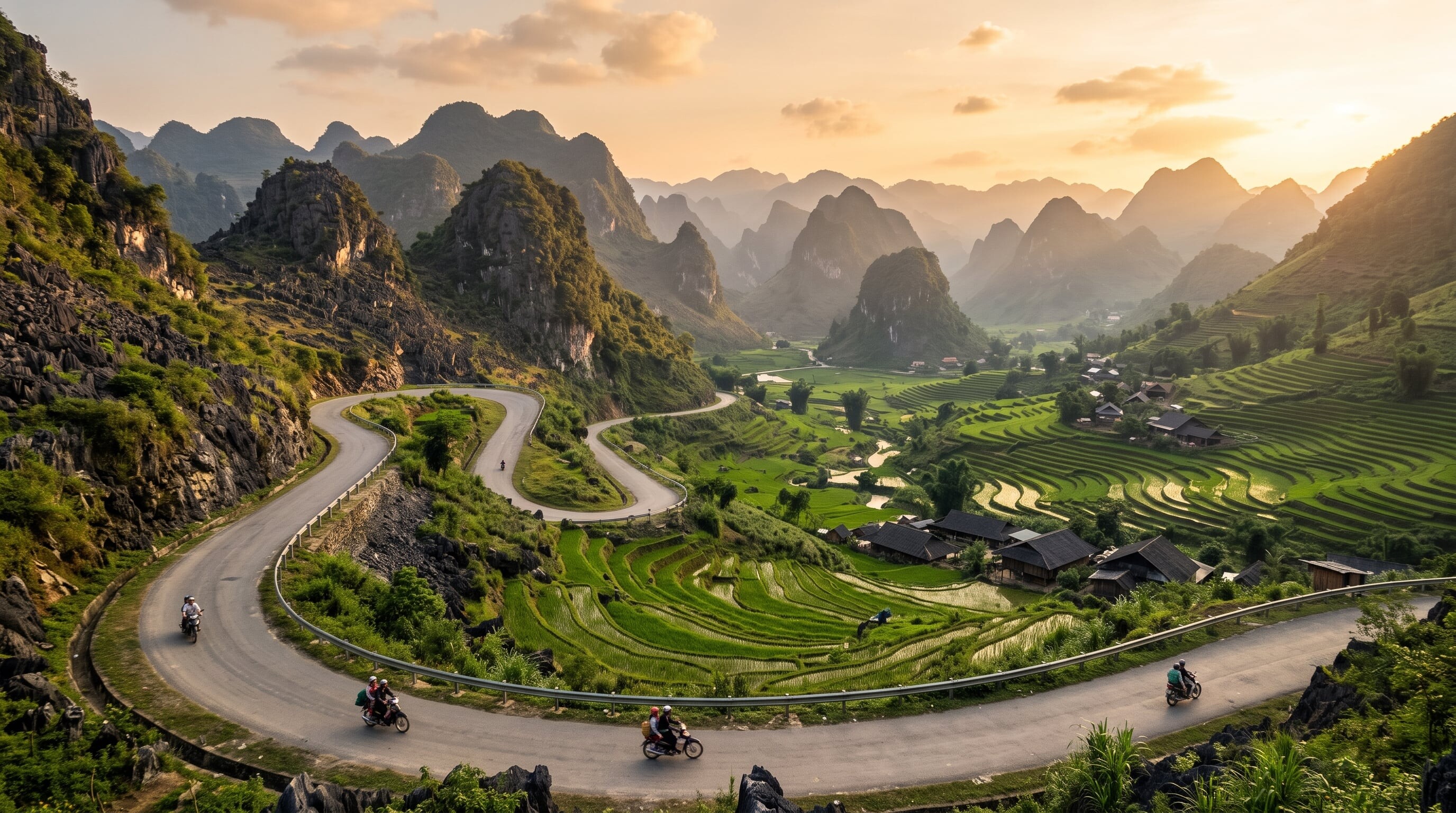

A mountainous circuit through Vietnam's far north, winding past limestone karst peaks, terraced rice fields, and ethnic-minority villages on the dramatic Ma Pi Leng Pass.
217 mi / 350 km
4 days
September to November
Challenging
Right
Toll-free
Iconic stops
Nho Que River
Turquoise waters at the base of the gorge, with boat trips through the canyon.
Ma Pi Leng Pass
A cliff-edge pass high above the emerald Nho Que River gorge.
Lung Cu Flag Tower
A hilltop tower marking Vietnam's northernmost point near the China border.
Dong Van Karst Plateau
A UNESCO Global Geopark of jagged limestone peaks and old stone villages.
Quan Ba (Heaven's Gate)
A pass with sweeping views over the twin-hill valley below.
Stops on the map
Each numbered marker matches the list above, linked in driving order from 1 to 5. Hover or tap a marker to see the stop name, scroll to zoom, and download the map as an image.
Prefer turn-by-turn navigation? Open the full route in Google Maps with all 5 stops loaded as waypoints in driving order. It opens in a new browser tab.
Tolls & fees
The loop roads are toll-free. Foreign travellers need a border-area permit for Ha Giang province, usually arranged easily through guesthouses or tour operators.
No tolls to estimate
Enjoy the drive. Budget instead for fuel, ferries, and parking.
Traffic & road alerts
Roads are narrow, steep, and shared with trucks, livestock, and landslide debris in the wet season. Many riders hire a local "easy rider" driver rather than self-drive.
Best maps & planning
Plan your drive and check the latest conditions with these trusted maps and official resources.
Driving tips
- If you are not a confident, experienced rider, hire a local easy-rider driver. The roads are unforgiving.
- Arrange your Ha Giang permit through your guesthouse before starting the loop.
- Ride in the September to November dry window to avoid landslides and slick roads.
Distances, tolls, and seasons are curated planning references and can change. Always confirm current tolls, opening dates, and closures with the official sources linked above before you travel.