
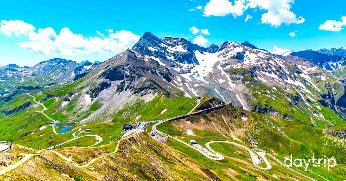

A 48-km toll road of 36 hairpins climbing to 2,504 m below Austria's highest peak, with glacier views and high-alpine visitor centers.
30 mi / 48 km
1 day
Early May to late October (closed in winter)
Challenging
Right
Tolls apply
Iconic stops
Kaiser-Franz-Josefs-Höhe
A viewing terrace facing the Grossglockner peak and Pasterze glacier.
Hochtor Pass
The historic 2,504 m tunnel crossing at the road's high point.
Fuscher Törl
A dramatic pass with a memorial and sweeping alpine panoramas.
Edelweißspitze
The highest point of the road at 2,571 m, up a cobbled spur.
Wildpark Ferleiten
An alpine wildlife park near the northern toll gate, great for families.
Stops on the map
Each numbered marker matches the list above, linked in driving order from 1 to 5. Hover or tap a marker to see the stop name, scroll to zoom, and download the map as an image.
Prefer turn-by-turn navigation? Open the full route in Google Maps with all 5 stops loaded as waypoints in driving order. It opens in a new browser tab.
Tolls & fees
This is a private toll road with a single day-ticket that covers the whole route and its side roads. Motorcycles pay a lower rate.
Toll cost estimator
Estimates in EUR. Figures are typical standard-car rates and can change. Confirm with the official toll links before you travel.
Traffic & road alerts
The road is gated and only open in daylight in season (roughly 6am to 7:30pm). It closes fully in winter. Snow can appear even in summer.
Best maps & planning
Plan your drive and check the latest conditions with these trusted maps and official resources.
Driving tips
- Buy the day ticket at the gate or online. It covers re-entry the same day.
- Go early for clear glacier views before afternoon clouds build.
- Bring a warm layer. It can be near freezing at the top even in July.
Distances, tolls, and seasons are curated planning references and can change. Always confirm current tolls, opening dates, and closures with the official sources linked above before you travel.