
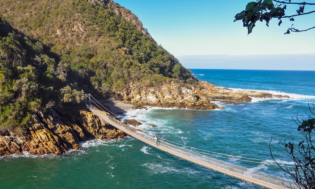

The N2 highway runs along the lush southern Cape coast from Mossel Bay to Storms River, past lagoons, forests, and dramatic ocean cliffs.
186 mi / 300 km
5 days
October to April
Easy
Left
Tolls apply
Iconic stops
Tsitsikamma National Park
Suspension bridges over the Storms River mouth and coastal forest trails.
Plettenberg Bay
Golden beaches and boat trips to see whales and dolphins in season.
Knysna
A lagoon town framed by sandstone Heads and famous for oysters.
Wilderness
Beaches, lakes, and paragliding along a scenic lagoon stretch.
Oudtshoorn (detour)
Ostrich farms and the vast Cango Caves inland over the Outeniqua Pass.
Stops on the map
Each numbered marker matches the list above, linked in driving order from 1 to 5. Hover or tap a marker to see the stop name, scroll to zoom, and download the map as an image.
Prefer turn-by-turn navigation? Open the full route in Google Maps with all 5 stops loaded as waypoints in driving order. It opens in a new browser tab.
Tolls & fees
The core Garden Route is mostly toll-free, but the N2 has toll plazas near Tsitsikamma (including the Storms River area). Carry a card or cash.
Toll cost estimator
Estimates in ZAR. Figures are typical standard-car rates and can change. Confirm with the official toll links before you travel.
Traffic & road alerts
Roads are generally good. Watch for fog on mountain passes and avoid driving rural stretches after dark.
Best maps & planning
Plan your drive and check the latest conditions with these trusted maps and official resources.
Driving tips
- Drive on the left. Rural roads may have livestock and pedestrians.
- Fill up before mountain passes and keep some cash for tolls.
- Book whale-season boat trips in Plettenberg Bay and Hermanus in advance.
Distances, tolls, and seasons are curated planning references and can change. Always confirm current tolls, opening dates, and closures with the official sources linked above before you travel.