
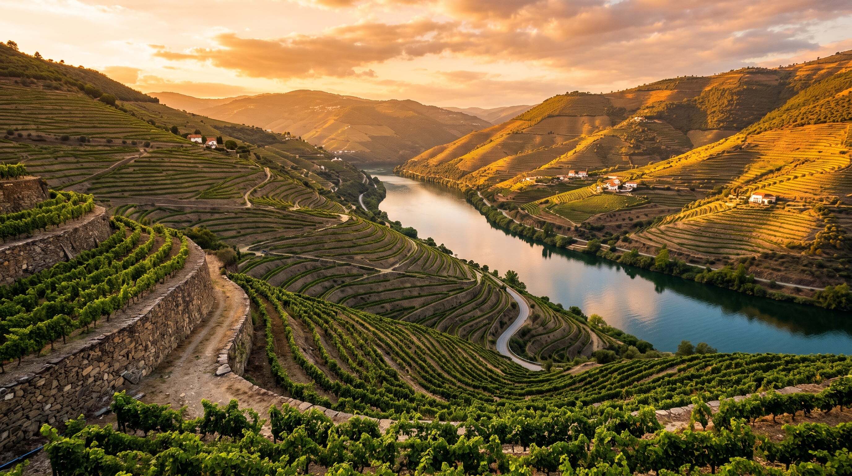

The N-222 traces the Douro River through the world's oldest demarcated wine region, past dizzying terraced vineyards and the quintas that produce port and Douro wines.
81 mi / 130 km
3 days
May to October
Moderate
Right
Toll-free
Iconic stops
Peso da Regua
The river-port hub and home of the Douro Museum.
Quinta wine estates
Terraced port houses offering tastings and river views along the valley.
Pinhao
A tiny riverside town ringed by famous quintas, with an azulejo-tiled station.
Sao Joao da Pesqueira viewpoints
Miradouros with sweeping panoramas over the terraced slopes.
Barca de Alva
The quiet upriver end of the valley near the Spanish border.
Stops on the map
Each numbered marker matches the list above, linked in driving order from 1 to 5. Hover or tap a marker to see the stop name, scroll to zoom, and download the map as an image.
Prefer turn-by-turn navigation? Open the full route in Google Maps with all 5 stops loaded as waypoints in driving order. It opens in a new browser tab.
Tolls & fees
The scenic N-222 river road is toll-free. The faster A4 motorway from Porto is electronically tolled (rental cars usually handle this automatically).
No tolls to estimate
Enjoy the drive. Budget instead for fuel, ferries, and parking.
Traffic & road alerts
The N-222 is scenic but twisting, with sheer drops and few barriers. Drive slowly, and expect the stretch near Pinhao to be busy in the September harvest.
Best maps & planning
Plan your drive and check the latest conditions with these trusted maps and official resources.
Driving tips
- Take the slower N-222 river road, not the motorway. The views are the whole point.
- Book a quinta tasting or a short river cruise from Pinhao in advance.
- Fuel up in Regua. Stations thin out as you head upriver toward the border.
Distances, tolls, and seasons are curated planning references and can change. Always confirm current tolls, opening dates, and closures with the official sources linked above before you travel.