
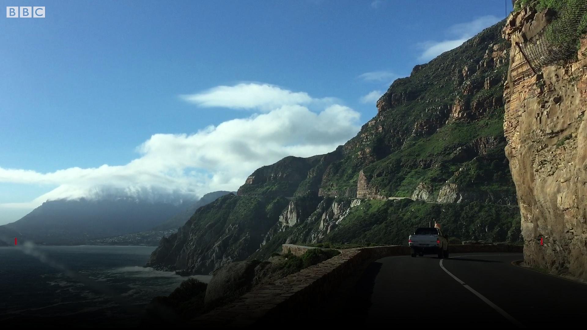

A spectacular 9-km toll road carved into the cliff face between Hout Bay and Noordhoek, offering 114 curves and constant views of the Atlantic Ocean from the slopes of Chapman's Peak.
6 mi / 9 km
1 day
Year-round (occasionally closed for rockfall)
Easy
Left
Tolls apply
Iconic stops
Hout Bay Harbour
Start at the fishing harbour with views of the Sentinel peak and seal island.
Chapman's Peak viewpoint
Multiple pullout points offer panoramic views of Hout Bay and the Atlantic.
Noordhoek Beach
A vast 8-km white-sand beach stretching below the Chapman's Peak cliffs.
Stops on the map
Each numbered marker matches the list above, linked in driving order from 1 to 3. Hover or tap a marker to see the stop name, scroll to zoom, and download the map as an image.
Prefer turn-by-turn navigation? Open the full route in Google Maps with all 3 stops loaded as waypoints in driving order. It opens in a new browser tab.
Tolls & fees
A toll of approximately R62 per car applies. The road may close during high winds or after rockfall.
Toll cost estimator
Estimates in ZAR. Figures are typical standard-car rates and can change. Confirm with the official toll links before you travel.
Traffic & road alerts
The road is narrow with no hard shoulder in many places. Watch for cyclists and drive at a moderate pace to enjoy the views. Check the webcam before departing, as weather closures are common in winter.
Best maps & planning
Plan your drive and check the latest conditions with these trusted maps and official resources.
Driving tips
- Drive north to south for the best ocean views on the driver's side.
- Time your drive for late afternoon when the cliffs glow gold and sunset hits the Atlantic.
- Combine with a full Cape Peninsula loop via Simon's Town, Cape Point and Constantia.
Distances, tolls, and seasons are curated planning references and can change. Always confirm current tolls, opening dates, and closures with the official sources linked above before you travel.