
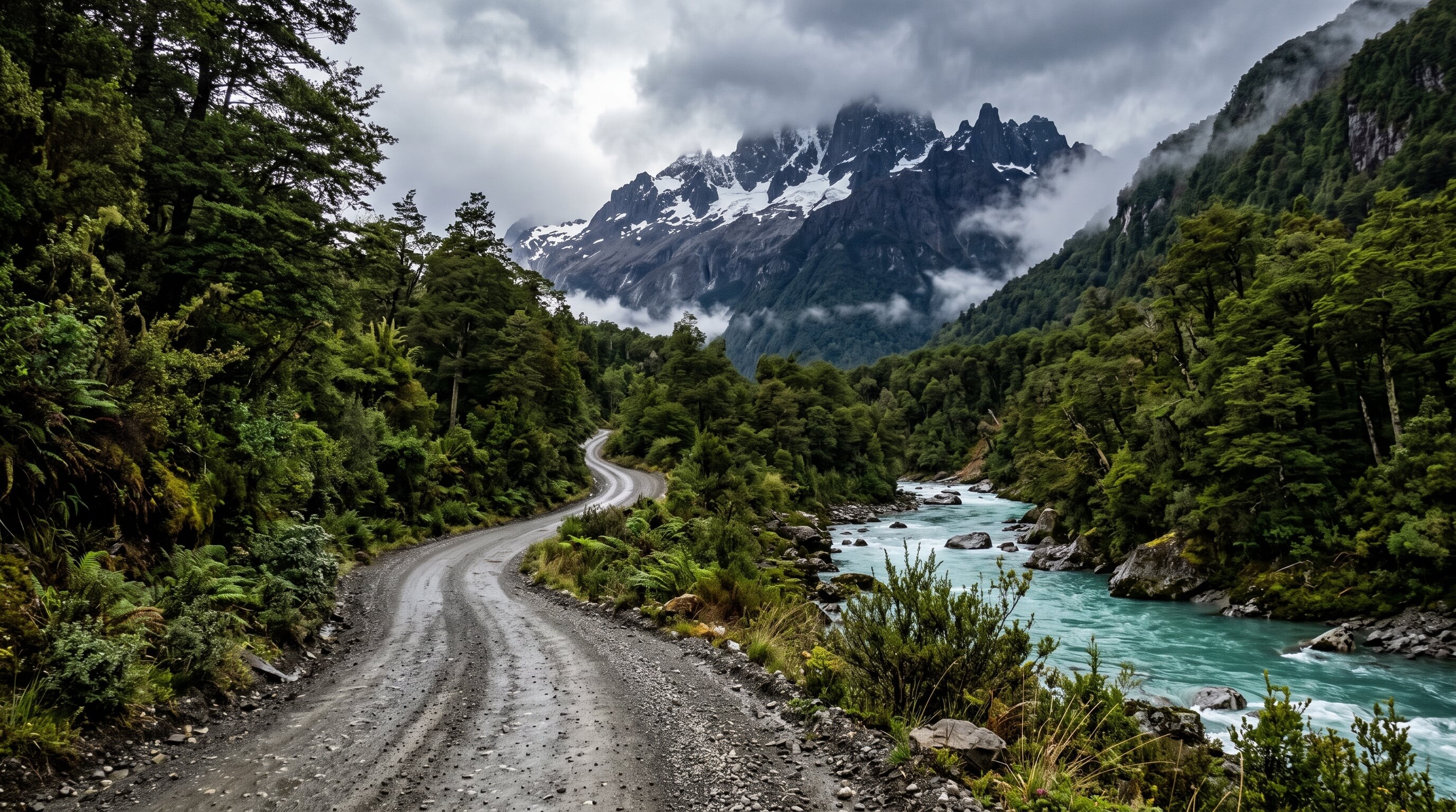

Route 7 runs deep into Chilean Patagonia, a mostly remote road of gravel and forest linking fjords, glaciers, and turquoise rivers through near-untouched wilderness.
770 mi / 1,240 km
8 days
December to March
Challenging
Right
Toll-free
Iconic stops
Puyuhuapi
A tiny fjord-side village founded by German settlers, with hot springs nearby.
Queulat Hanging Glacier
A glacier spilling over a cliff into a waterfall inside Queulat National Park.
Cerro Castillo
A jagged basalt-spired massif with excellent trekking.
Marble Caves (Capillas de Marmol)
Swirled marble caverns on the vivid blue Lake General Carrera, seen by boat.
Caleta Tortel
A remote village built entirely on cypress boardwalks instead of streets.
Stops on the map
Each numbered marker matches the list above, linked in driving order from 1 to 5. Hover or tap a marker to see the stop name, scroll to zoom, and download the map as an image.
Prefer turn-by-turn navigation? Open the full route in Google Maps with all 5 stops loaded as waypoints in driving order. It opens in a new browser tab.
Tolls & fees
The road is toll-free, but three ferry crossings are needed to complete the northern section. Book those ferries well ahead in the summer high season.
No tolls to estimate
Enjoy the drive. Budget instead for fuel, ferries, and parking.
Traffic & road alerts
Long gravel (ripio) stretches are hard on tyres and slow going. Fuel stations are far apart, so fill up at every town and carry a spare.
Best maps & planning
Plan your drive and check the latest conditions with these trusted maps and official resources.
Driving tips
- Book the northern ferry crossings before you arrive. Summer sailings fill up fast.
- Rent a high-clearance vehicle and carry a full-size spare for the long gravel sections.
- Fill your fuel tank in every town. Distances between stations are huge.
Distances, tolls, and seasons are curated planning references and can change. Always confirm current tolls, opening dates, and closures with the official sources linked above before you travel.