
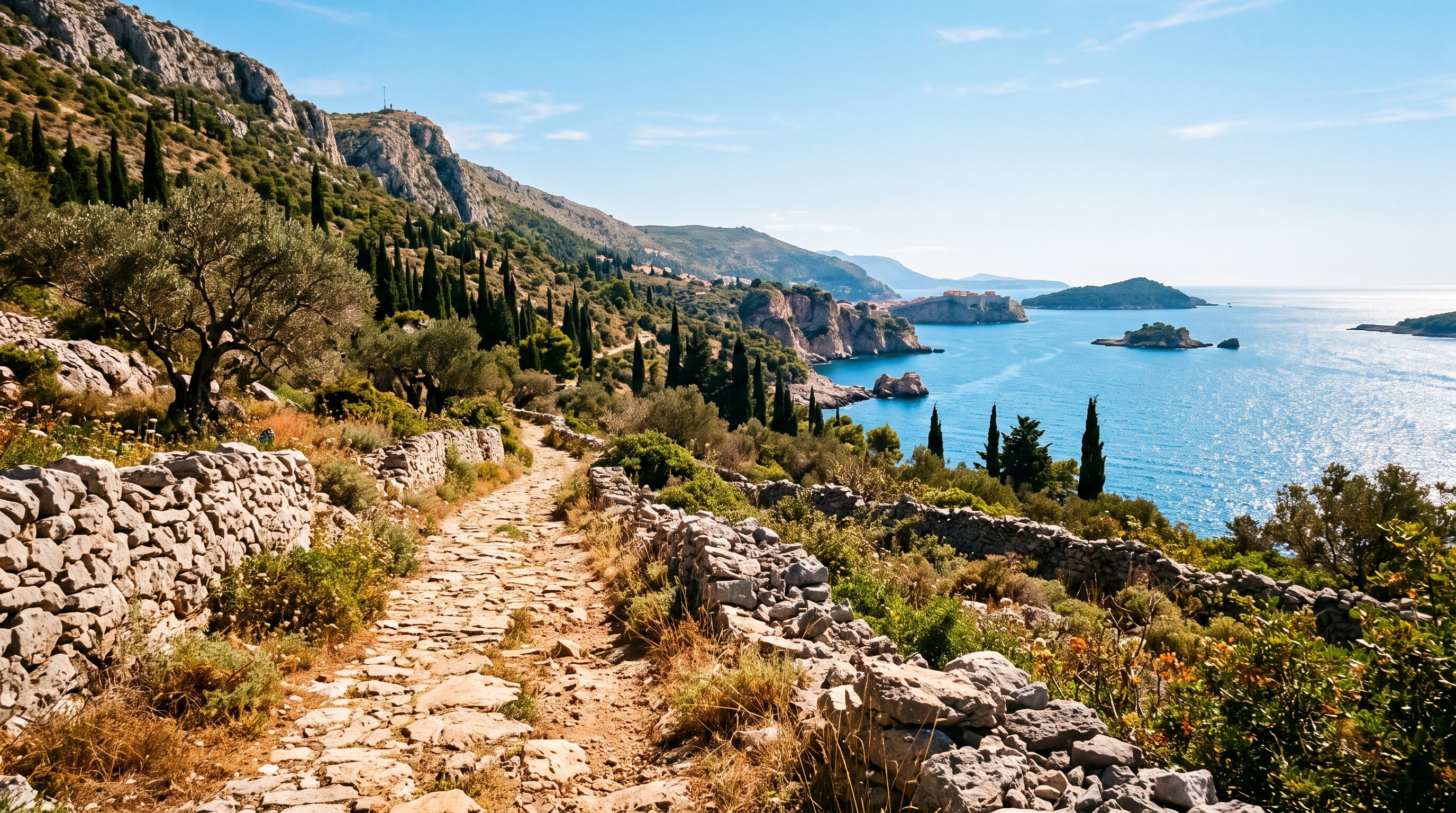

Europe's newest Camino is a 145 km walking pilgrimage that slips away from Dubrovnik's crowded Old Town and heads north through the quiet Dalmatian hinterland, crossing into Bosnia and Herzegovina to finish at the shrine of Medjugorje. It follows old trade and pilgrim paths, Mediterranean coast, and mountain slopes, and reveals a side of Dubrovnik most visitors never see.
90 mi / 145 km
7 days
Spring and autumn (May to Oct)
Challenging
Walking pilgrimage
Iconic stops
Dubrovnik (Church of St James)
The pilgrimage begins at the Church of St James, slipping away from the crowded Old Town walls toward the quiet hills above the city.
Mokosica
The trail follows the Rijeka Dubrovacka estuary past Mokosica, trading the tourist coast for olive groves and cypress-lined lanes.
Orasac
A sleepy stone village above the sea, home to the 1438 limestone aqueduct that once carried fresh water toward Dubrovnik.
Slano
A sheltered bay on the Dubrovnik Riviera and a classic overnight stop, with a Franciscan monastery and calm swimming coves.
Ravno
Crossing into Bosnia and Herzegovina, the route reaches Ravno on the edge of the Popovo Polje karst plain, tracing centuries-old trade and pilgrim paths.
Capljina
A Neretva valley town where the Camino joins stretches of the former narrow-gauge Ciro railway heading into Herzegovina's shrine country.
Medjugorje (Church of St James)
Journey's end at the Church of St James in Medjugorje, one of Europe's most visited Marian pilgrimage sites.
Stops on the map
Each numbered marker matches the list above, linked in walking order from 1 to 7. Hover or tap a marker to see the stop name, scroll to zoom, and download the map as an image.
Prefer turn-by-turn navigation? Open the full route in Google Maps with all 7 stops loaded as waypoints in walking order. It opens in a new browser tab.
On the trail & safety
This is a long-distance trail recommended for fit, experienced walkers, though it is easy to tackle a single stage at a time over a weekend. The path is waymarked with the traditional yellow scallop shell, but download the Camino Dubrovnik app or GPS tracks before you set off. Carry plenty of water, sun protection, and your passport for the border crossing, and check that any hinterland or mountain sections are clear before you walk them.
Best maps & planning
Plan your walk and check the latest conditions with these trusted maps and official resources.
Walking tips
- Walk it in spring or autumn. Midsummer on the exposed karst is very hot with little shade.
- Carry your passport or ID card. The trail crosses the Croatia to Bosnia and Herzegovina border on foot.
- Book hinterland guesthouses ahead. Villages like Slano and Ravno have limited beds, so plan each stage end in advance.
Distances, stages, and seasons are curated planning references and can change. Always confirm current stage details, border rules, and closures with the official sources linked above before you travel.