
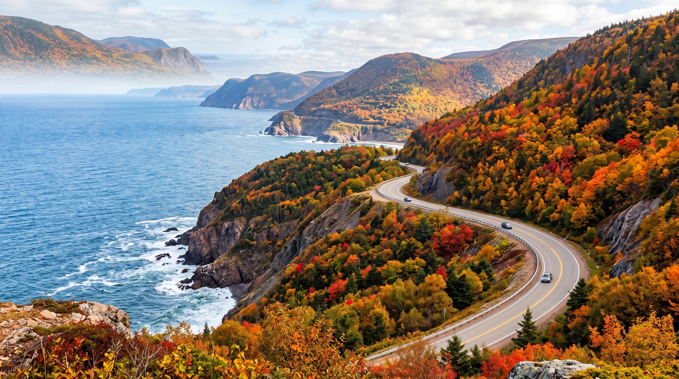

A loop around the highlands of Cape Breton Island, Nova Scotia, climbing coastal headlands above the Atlantic and Gulf of St. Lawrence, unforgettable in autumn.
185 mi / 298 km
3 days
June to October
Moderate
Right
Toll-free
Iconic stops
Ingonish
Beaches, golf, and the trailheads of the eastern highlands.
Cape Breton Highlands National Park
The wild, forested plateau at the heart of the loop.
Pleasant Bay
A whale-watching hub on the western shore.
Skyline Trail
A boardwalk hike to a headland sunset view over the Gulf of St. Lawrence.
Cheticamp
An Acadian fishing village known for hooked-rug craft and seafood.
Stops on the map
Each numbered marker matches the list above, linked in driving order from 1 to 5. Hover or tap a marker to see the stop name, scroll to zoom, and download the map as an image.
Prefer turn-by-turn navigation? Open the full route in Google Maps with all 5 stops loaded as waypoints in driving order. It opens in a new browser tab.
Tolls & fees
The Cabot Trail is toll-free. A Parks Canada pass is required to stop within Cape Breton Highlands National Park, which the trail passes through.
No tolls to estimate
Enjoy the drive. Budget instead for fuel, ferries, and parking.
Traffic & road alerts
Steep grades climb French and MacKenzie Mountains. The loop is quiet, but fall foliage season (early October) brings a surge of visitors.
Best maps & planning
Plan your drive and check the latest conditions with these trusted maps and official resources.
Driving tips
- Drive the loop clockwise for the most dramatic coastal views on your side of the road.
- Come in late September or early October for peak fall colours, but book lodging early.
- Buy a Parks Canada pass so you can stop freely inside the national park.
Distances, tolls, and seasons are curated planning references and can change. Always confirm current tolls, opening dates, and closures with the official sources linked above before you travel.