
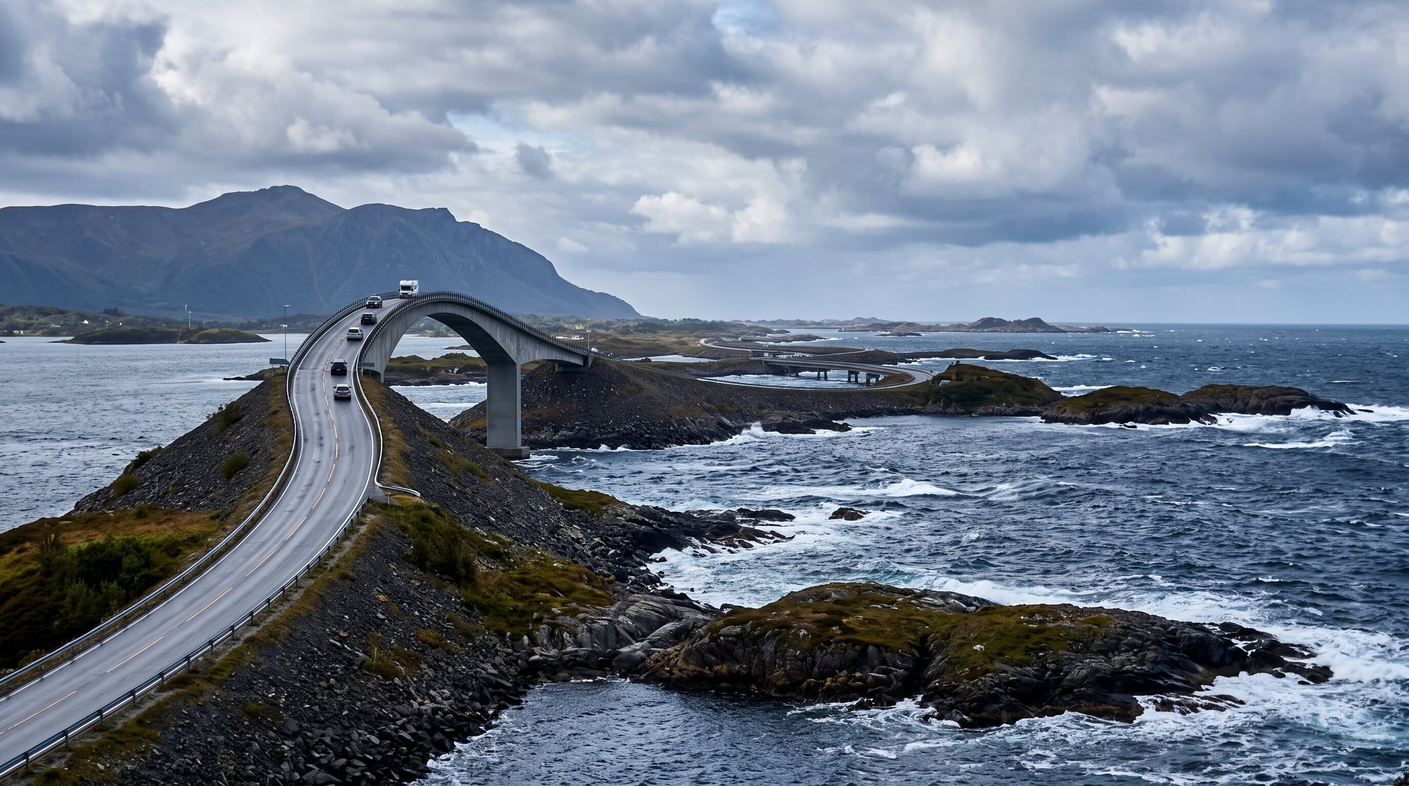

A short, spectacular ribbon of bridges and causeways hopping between tiny islets on Norway's west coast, crowned by the wave-battered Storseisundet Bridge.
22 mi / 36 km
1 day
May to September
Easy
Right
Toll-free
Iconic stops
Eldhusoya
An islet with a looped walkway and viewpoint over the archipelago.
Storseisundet Bridge
The famous "drunk bridge" that appears to launch into the sky from certain angles.
Hakon's fishing spots
Roadside jetties popular for cod and coalfish angling.
Askevagen viewpoint
A raised platform with sweeping views over the skerries and open sea.
Bud
A historic coastal fishing village with a WWII coastal fort museum.
Stops on the map
Each numbered marker matches the list above, linked in driving order from 1 to 5. Hover or tap a marker to see the stop name, scroll to zoom, and download the map as an image.
Prefer turn-by-turn navigation? Open the full route in Google Maps with all 5 stops loaded as waypoints in driving order. It opens in a new browser tab.
Tolls & fees
The Atlantic Ocean Road (County Road 64) is toll-free. If you continue toward Kristiansund, the undersea Atlanterhavstunnelen is electronically tolled.
No tolls to estimate
Enjoy the drive. Budget instead for fuel, ferries, and parking.
Traffic & road alerts
Storms make the sea road thrilling but can bring waves over the tarmac. Autumn gales are a spectacle best watched from the pull-offs, not the driving seat.
Best maps & planning
Plan your drive and check the latest conditions with these trusted maps and official resources.
Driving tips
- Time a visit for a windy day at high tide to see waves crash over the road, from a safe pull-off.
- It is short, so pair it with the nearby Trollstigen or the Geiranger fjord for a full day.
- Bring a windproof jacket. It is exposed and cold even in summer.
Distances, tolls, and seasons are curated planning references and can change. Always confirm current tolls, opening dates, and closures with the official sources linked above before you travel.